You can easily find available cabs through the GoRide platform. Enter your pickup and drop locations, browse available cab options, and contact the cab owner directly to confirm your trip.
Distance and Travel Time
Ariyalur To Nilgiris Route Details
The approximate distance between these locations is around 367.75 kms (about 6h 41m of travel time). The distance may vary slightly depending on the specific route taken and the mode of travel. Road networks and connectivity play an important role in determining the exact distance. This information helps in planning travel, transport, and logistics effectively between different destinations.
Why Visit Nilgiris?
The Nilgiri Mountains form a part of the Western Ghats in northwestern Tamil Nadu, southern Karnataka and eastern Kerala in South India. They are located at the trijunction of the three states and connect the Western Ghats to the Eastern Ghats. The range consists of at least 24 peaks above 2,000 m (6,600 ft), with Doddabetta being the highest at 2,637 m (8,652 ft).


Taxi Fare Options

4 Seater ( Mini/Hatchback )
Upto 4 Seats
₹4695 for up to 380 kms
* For Drivers / Travellers / Tourists
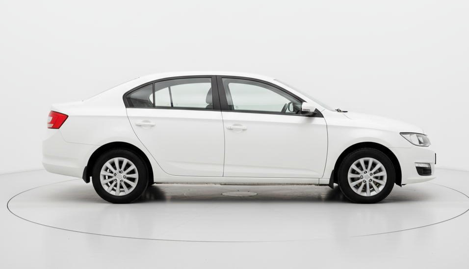
4 Seater
Upto 4 Seats
₹5107 for up to 380 kms
* For Drivers / Travellers / Tourists

6 Seater
Upto 6 Seats
₹6506 for up to 380 kms
* For Drivers / Travellers / Tourists

7 Seater
Upto 7 Seats
₹7216 for up to 380 kms
* For Drivers / Travellers / Tourists

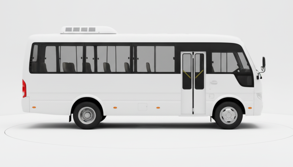
13 Seater
Upto 13 Seats
₹8656 for up to 380 kms
* For Drivers / Travellers / Tourists
21 Seater
Upto 21 Seats
₹11909 for up to 380 kms
* For Drivers / Travellers / Tourists
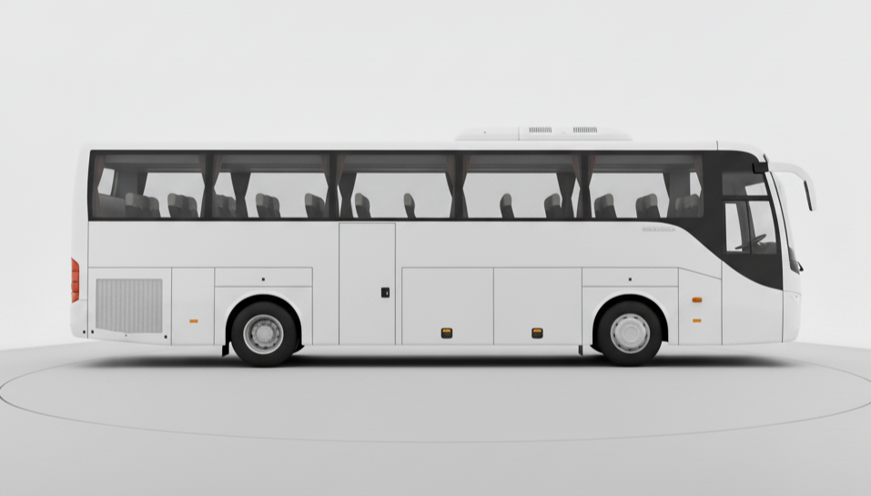
50 Seater
Upto 50 Seats
₹28025 for up to 380 kms
* For Drivers / Travellers / Tourists
Top Cab Routes from Chennai
FAQ
-
1. How can I book a cab from ariyalur to nilgiris using GoRide?
-
2. How does GoRide help cab owners in ariyalur?
-
3. How safe is it to travel from ariyalur to nilgiris with GoRide?
-
4. How much does it cost to travel between ariyalur and nilgiris using GoRide?
-
5. How can travelers and businesses benefit from GoRide in ariyalur?

