You can easily find available cabs through the GoRide platform. Enter your pickup and drop locations, browse available cab options, and contact the cab owner directly to confirm your trip.
Distance and Travel Time
Cuddalore To Tirunelveli Route Details
The approximate distance between these locations is around 529.58 kms (about 9h 38m of travel time). The distance may vary slightly depending on the specific route taken and the mode of travel. Road networks and connectivity play an important role in determining the exact distance. This information helps in planning travel, transport, and logistics effectively between different destinations.
Why Visit Tirunelveli?
Tirunelveli, also known as Nellai and historically as Tinnevelly, is a major city in the Indian state of Tamil Nadu. It is the administrative headquarters of the Tirunelveli District. It is the fourth-largest municipal corporation in the state after Chennai, Coimbatore, and Madurai. Tirunelveli is located 624 km (388 mi) southwest of the state capital Chennai, 58 km (36 mi) away from Thoothukudi, and 73 km (45 mi) from Kanyakumari. The downtown is located on the west bank of the Thamirabarani River; its twin Palayamkottai is on the east bank. Tirunelveli and its neighbourhood, Palayamkottai, have been called the Oxford of South India for their colleges. It has several important government offices.


Taxi Fare Options

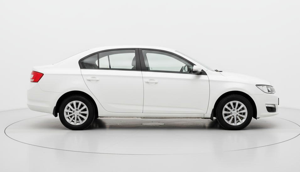
4 Seater ( Mini/Hatchback )
Upto 4 Seats
₹7362 for up to 600 kms
* For Drivers / Travellers / Tourists
4 Seater
Upto 4 Seats
₹7992 for up to 600 kms
* For Drivers / Travellers / Tourists

6 Seater
Upto 6 Seats
₹10200 for up to 600 kms
* For Drivers / Travellers / Tourists

7 Seater
Upto 7 Seats
₹11298 for up to 600 kms
* For Drivers / Travellers / Tourists

13 Seater
Upto 13 Seats
₹13548 for up to 600 kms
* For Drivers / Travellers / Tourists

21 Seater
Upto 21 Seats
₹18282 for up to 600 kms
* For Drivers / Travellers / Tourists

50 Seater
Upto 50 Seats
₹43020 for up to 600 kms
* For Drivers / Travellers / Tourists
Top Cab Routes from Chennai
FAQ
-
1. How can I book a cab from cuddalore to tirunelveli using GoRide?
-
2. How does GoRide help cab owners in cuddalore?
-
3. How safe is it to travel from cuddalore to tirunelveli with GoRide?
-
4. How much does it cost to travel between cuddalore and tirunelveli using GoRide?
-
5. How can travelers and businesses benefit from GoRide in cuddalore?

