You can easily find available cabs through the GoRide platform. Enter your pickup and drop locations, browse available cab options, and contact the cab owner directly to confirm your trip.
Distance and Travel Time
Pudukkottai To Vellore Route Details
The approximate distance between these locations is around 324.9 kms (about 5h 54m of travel time). The distance may vary slightly depending on the specific route taken and the mode of travel. Road networks and connectivity play an important role in determining the exact distance. This information helps in planning travel, transport, and logistics effectively between different destinations.
Why Visit Vellore?
Vellore, also spelled Velur, is a sprawling city and the administrative headquarters of Vellore district in the Indian state of Tamil Nadu. It is located on the banks of the Palar River and surrounded by the Javadi Hills in the northeastern part of Tamil Nadu and is separated into four zones that are further subdivided into 60 wards, covering an area of 76.09 km2 and housing a population of 315,128 as reported by the 2011 census. The Vellore city along with its sub urban areas is spread across approximately 153.14 km² with a population of 484,690 as of 2011. It is located about 137.20 kilometres (85 mi) west of Chennai, and about 213.20 kilometres (132 mi) east of Bangalore. Vellore is located on the Mumbai–Chennai arm of the Golden Quadrilateral. Vellore is governed under a mayor and the Vellore Municipal Corporation. It is a part of both the Lok Sabha and state assembly constituencies of Vellore.


Taxi Fare Options
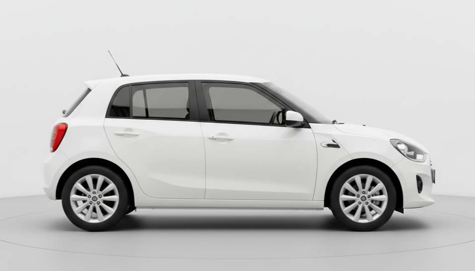
4 Seater ( Mini/Hatchback )
Upto 4 Seats
₹4215 for up to 340 kms
* For Drivers / Travellers / Tourists
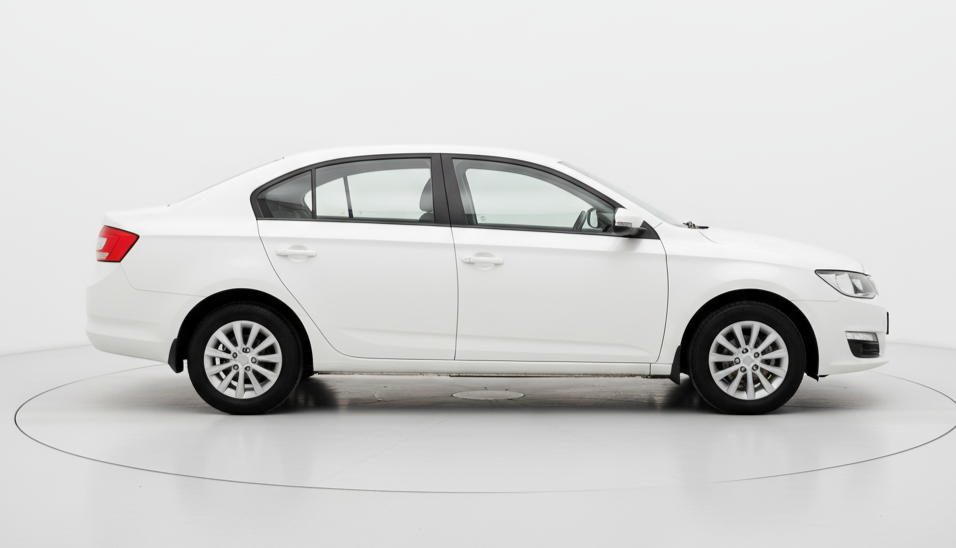
4 Seater
Upto 4 Seats
₹4590 for up to 340 kms
* For Drivers / Travellers / Tourists
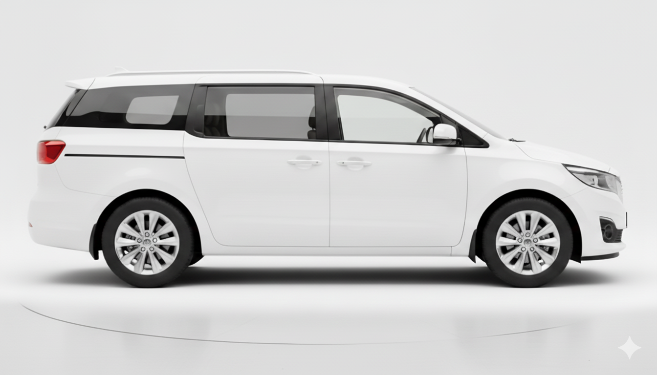
6 Seater
Upto 6 Seats
₹5841 for up to 340 kms
* For Drivers / Travellers / Tourists
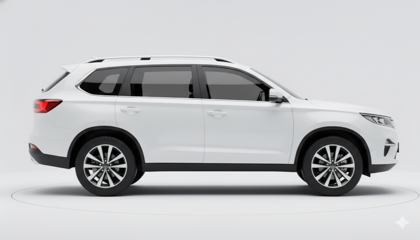
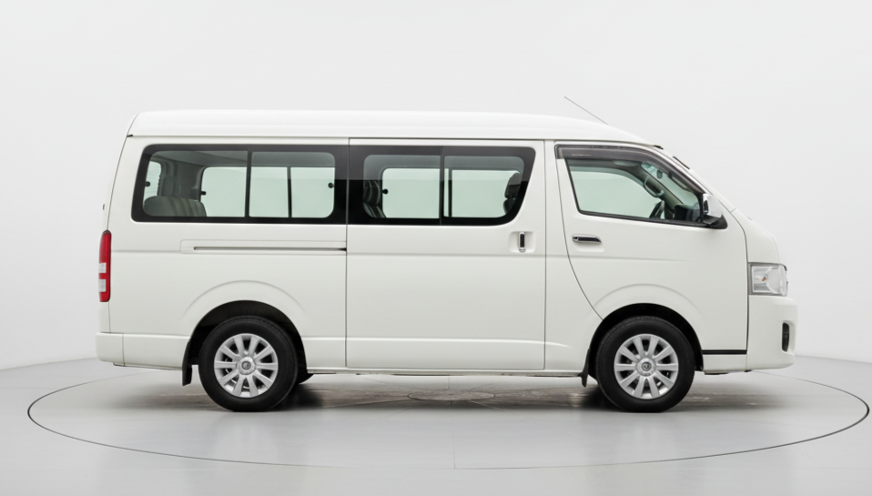
7 Seater
Upto 7 Seats
₹6484 for up to 340 kms
* For Drivers / Travellers / Tourists
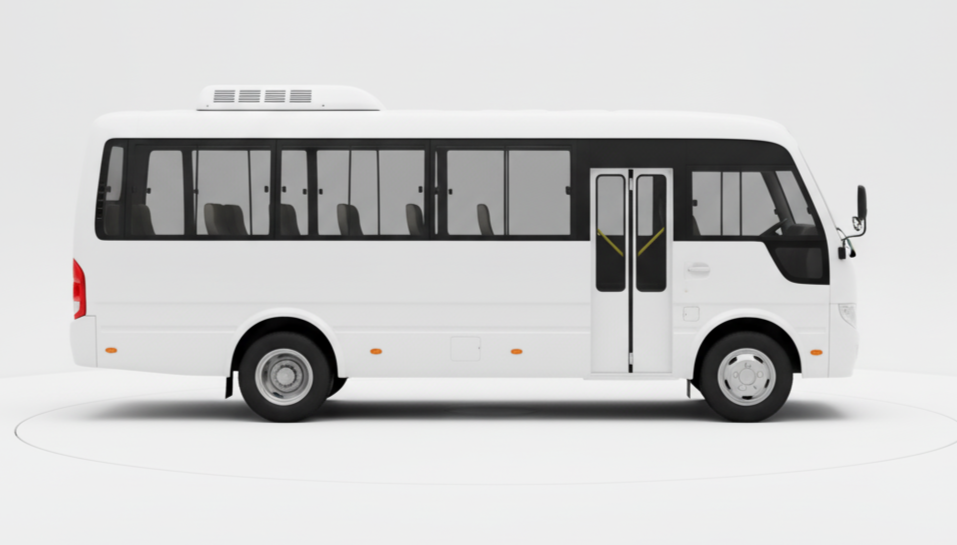
13 Seater
Upto 13 Seats
₹7779 for up to 340 kms
* For Drivers / Travellers / Tourists
21 Seater
Upto 21 Seats
₹10805 for up to 340 kms
* For Drivers / Travellers / Tourists
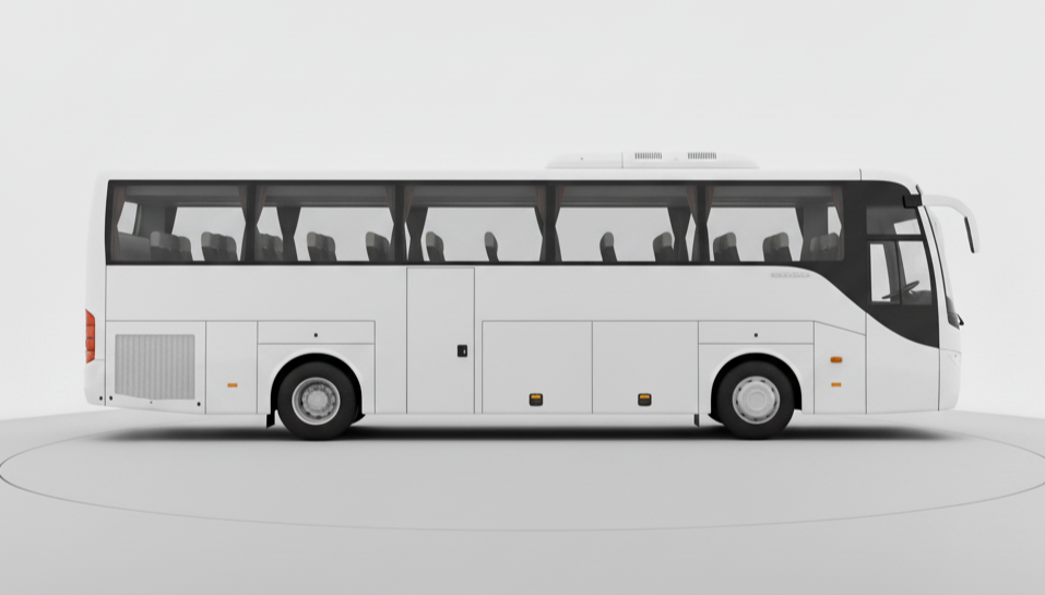
50 Seater
Upto 50 Seats
₹25429 for up to 340 kms
* For Drivers / Travellers / Tourists
Top Cab Routes from Chennai
FAQ
-
1. How can I book a cab from pudukkottai to vellore using GoRide?
-
2. How does GoRide help cab owners in pudukkottai?
-
3. How safe is it to travel from pudukkottai to vellore with GoRide?
-
4. How much does it cost to travel between pudukkottai and vellore using GoRide?
-
5. How can travelers and businesses benefit from GoRide in pudukkottai?

