You can easily find available cabs through the GoRide platform. Enter your pickup and drop locations, browse available cab options, and contact the cab owner directly to confirm your trip.
Distance and Travel Time
Sivaganga To Virudhunagar Route Details
The approximate distance between these locations is around 86.44 kms (about 1h 34m of travel time). The distance may vary slightly depending on the specific route taken and the mode of travel. Road networks and connectivity play an important role in determining the exact distance. This information helps in planning travel, transport, and logistics effectively between different destinations.
Why Visit Virudhunagar?
Virudhunagar is a Town and the administrative headquarter of the Virudhunagar district in the Indian state of Tamil Nadu. It is located 506 km (314 mi) southwest of the state capital Chennai and 53 km (33 mi) south of Madurai. Virudhunagar emerged as an important trade centre during the British rule. Located to the east of Kowsika River, Virudhunagar has an average elevation of 102 m (335 ft) above sea level and is largely flat with no major geological formations. The town has a humid climate and receives 780 mm (31 in) rainfall annually. It has been ruled at various times by Later Pandyas, Vijayanagar Empire, Madurai Nayaks, Chanda Sahib, Carnatic kingdom and the British. It was formerly known as Virudhupatti.


Taxi Fare Options

4 Seater ( Mini/Hatchback )
Upto 4 Seats
₹1335 for up to 100 kms
* For Drivers / Travellers / Tourists
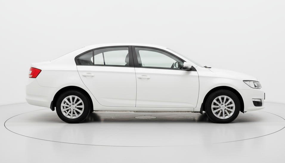
4 Seater
Upto 4 Seats
₹1455 for up to 100 kms
* For Drivers / Travellers / Tourists

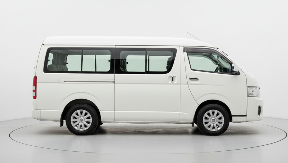
6 Seater
Upto 6 Seats
₹2700 for up to 100 kms
* For Drivers / Travellers / Tourists

7 Seater
Upto 7 Seats
₹3500 for up to 100 kms
* For Drivers / Travellers / Tourists
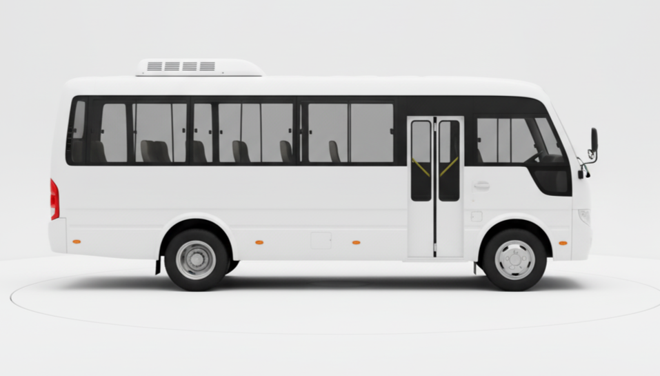
13 Seater
Upto 13 Seats
₹5000 for up to 100 kms
* For Drivers / Travellers / Tourists
21 Seater
Upto 21 Seats
₹7300 for up to 100 kms
* For Drivers / Travellers / Tourists
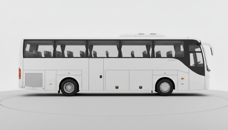
50 Seater
Upto 50 Seats
₹15000 for up to 100 kms
* For Drivers / Travellers / Tourists
Top Cab Routes from Chennai
FAQ
-
1. How can I book a cab from sivaganga to virudhunagar using GoRide?
-
2. How does GoRide help cab owners in sivaganga?
-
3. How safe is it to travel from sivaganga to virudhunagar with GoRide?
-
4. How much does it cost to travel between sivaganga and virudhunagar using GoRide?
-
5. How can travelers and businesses benefit from GoRide in sivaganga?

